
Vulcana
Earthquakes, volcanoes and weather around the Mediterranean, on a live map and as music.
One purchase. No subscription, no ads, no tracking.
Download on the App StoreiPhone · iOS 26 · English, Italiano, Français, Deutsch, Ελληνικά, Hrvatski, فارسی
What it does
- 01
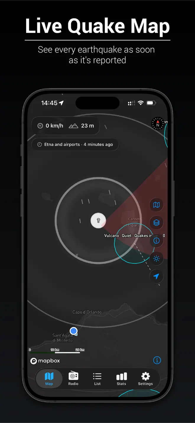
Live quake map
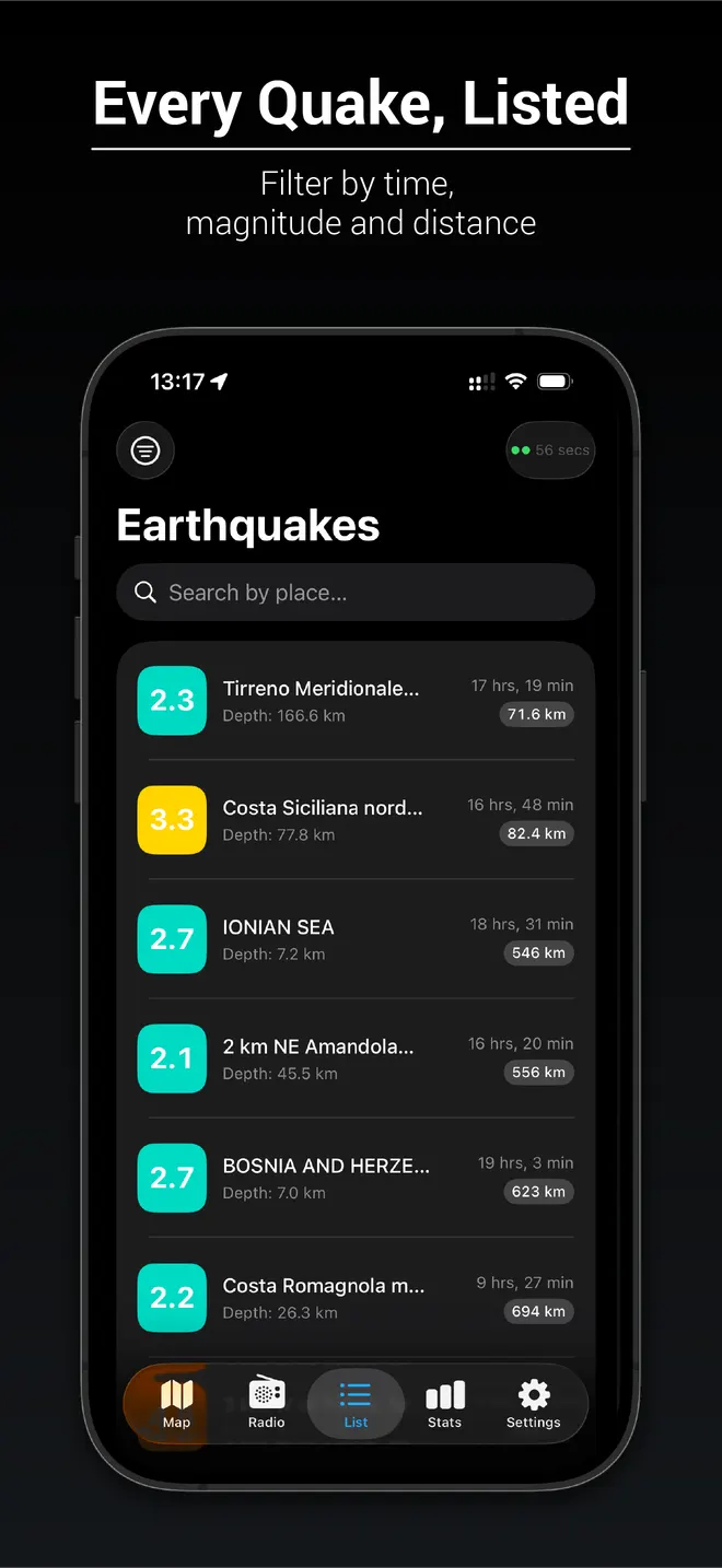
Every earthquake reported by INGV, USGS and EMSC, coloured by magnitude, with rings that show how far a recent one could be felt.
- 02
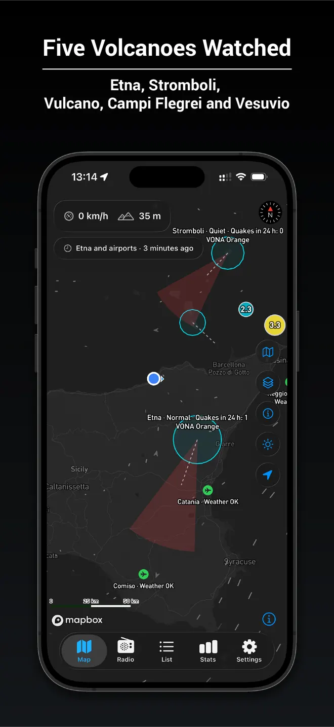
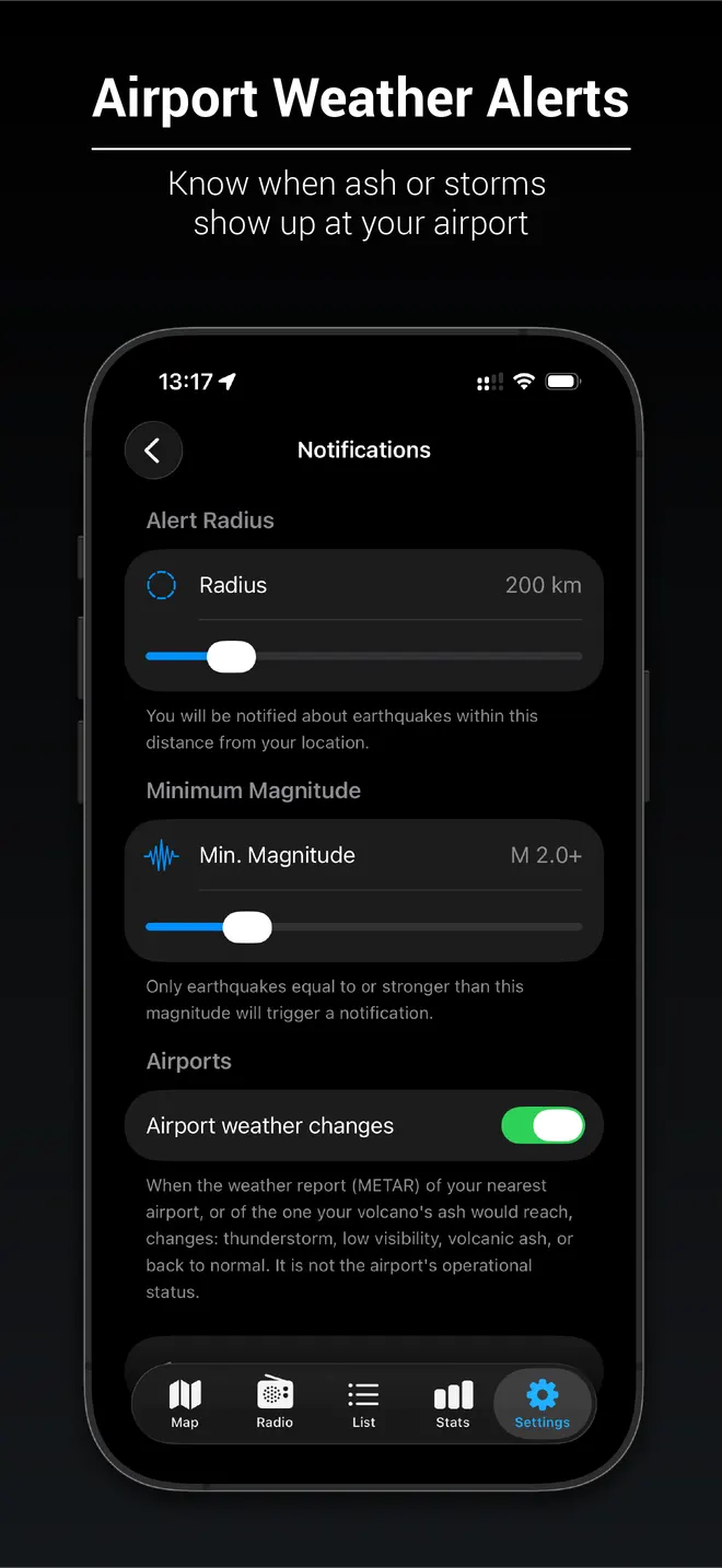
Volcanoes and airports
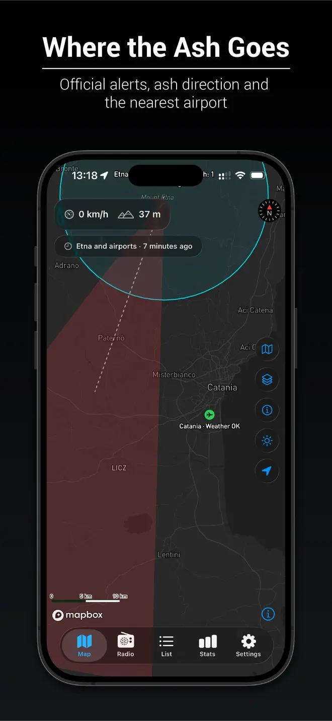
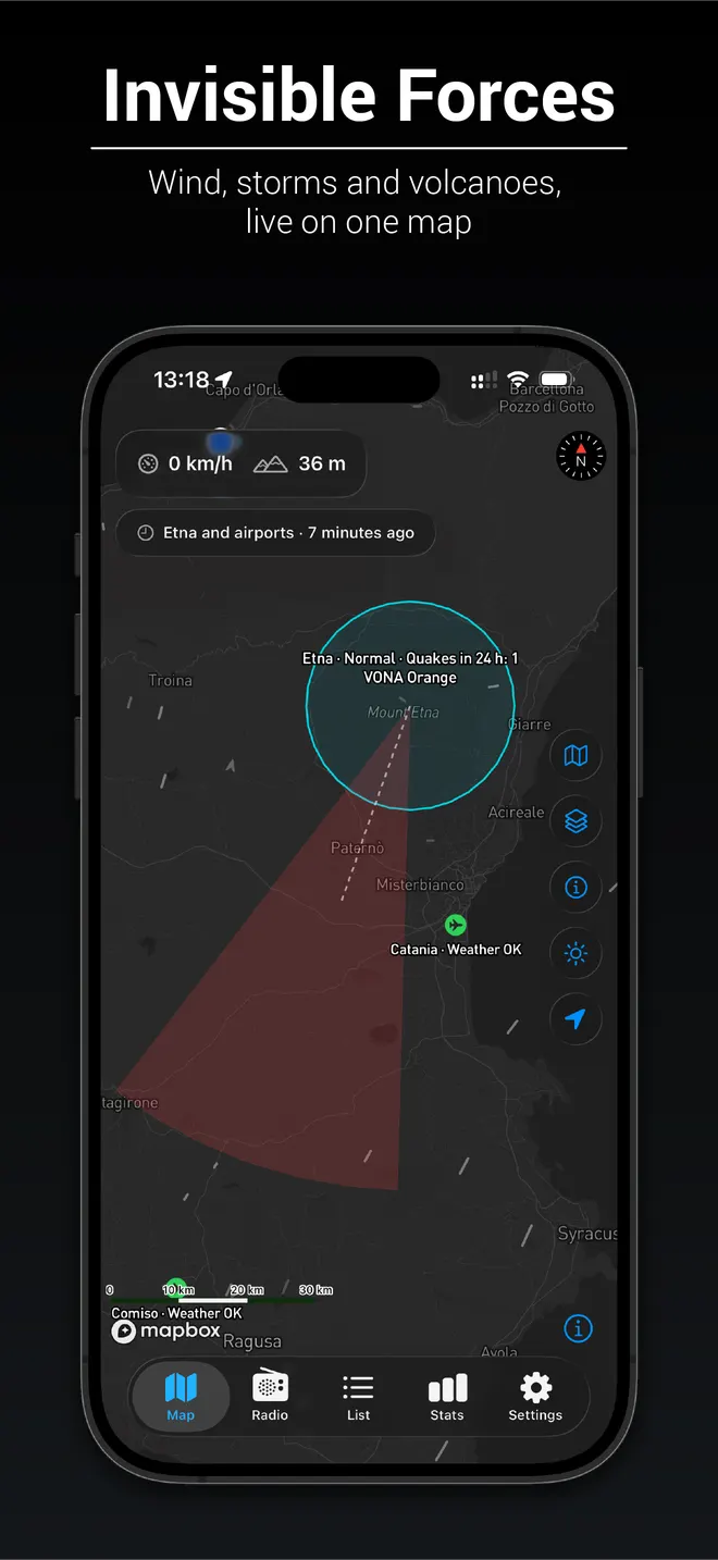
Seismic unrest at Etna, Stromboli, Vulcano, Campi Flegrei and Vesuvio, the official INGV aviation colour code, where the ash would drift, and the weather at the nearest airports.
- 03
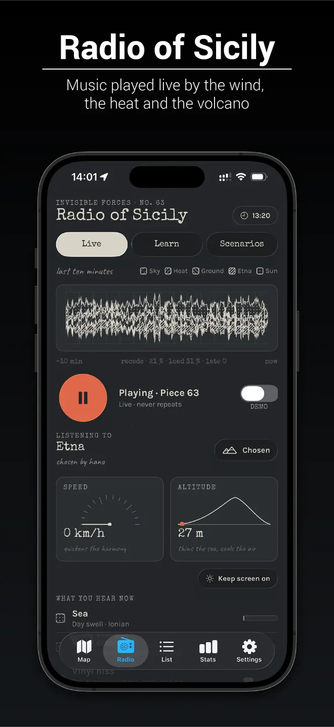
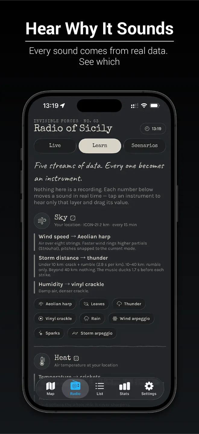
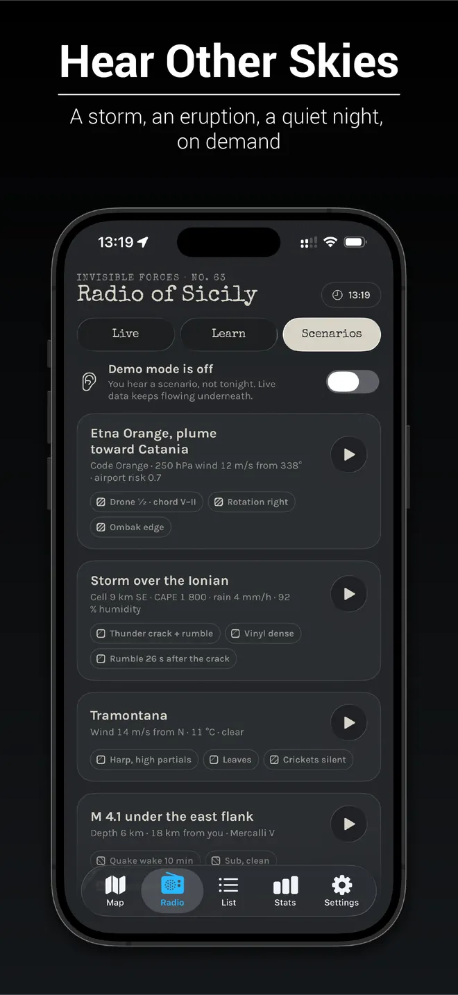
Radio of Sicily
A piece of music that never repeats, played live by the wind, the heat, approaching storms and the volcano, with cicadas, crickets and birds that answer one another.
- 04
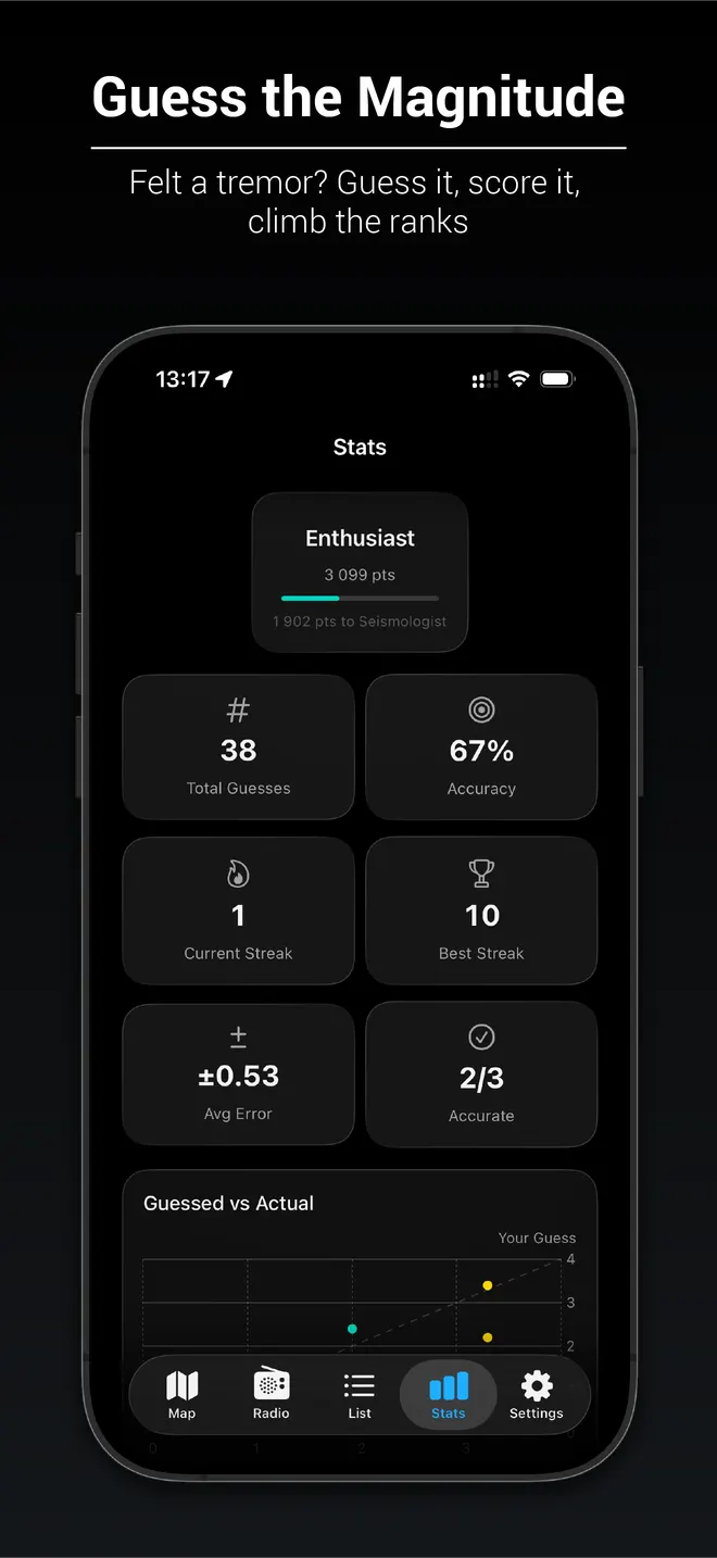
Guess the magnitude
Felt a tremor? For an hour the app hides the magnitude of a quake near you. Guess it, score it, and climb from Novice to Master Seismologist.
Inside the app
Honest about what it is
- Not a warning system
- Vulcana shows public scientific data as it is published, which can be minutes late and is sometimes revised. For your safety, follow Civil Protection and INGV.
- Airports: the weather, not the flights
- The app reads each airport’s weather report (METAR). It does not know whether an airport is open or whether flights operate.
- Private by design
- Your precise location, speed and altitude never leave the phone. Only an area about 11 km across is used to look up the weather.
Data: INGV · USGS · EMSC · MET Norway · NOAA · Map © Mapbox © OpenStreetMap contributors